
Carnikava Legends rogaining
Bulletin Program How to get there and the competition center Map
Legend
competition course and program
 Pievieno pasākumu Google kalendāram, vai
 ![]() Pievieno pasākumu Apple kalendāram
Pievieno pasākumu Apple kalendāram
| Laiks | Activity |
|---|---|
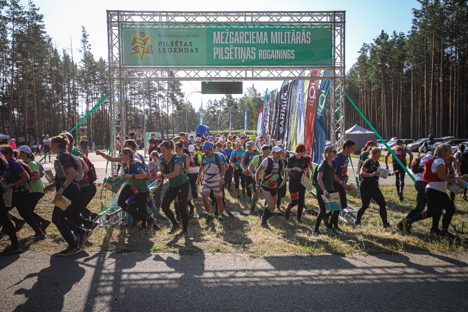
| 09:30 | Number extraction and war sharing begin |
| 11:00 | Start for 6h rogaining (participants of the Rogaining hike can start the distance from 11:00 a.m. to 1:00 p.m.) |
| 11:30 | Starts 3h velo rogainingam |
| 12:00 | Starts 4h rogainingam |
| 13:00 | Start for 2h rogaining, 2h rogaining run and 2h rogaining walk |
| 14:30 | Control timeout for 3h cycling horns |
| 15:00 | End of control time for 2h rogaining and 2h for rogaining run |
| 16:00 | End of control time for 4h rogaining |
| 17:00 | End of control time for 6h Rogaining and Rogaining hike |
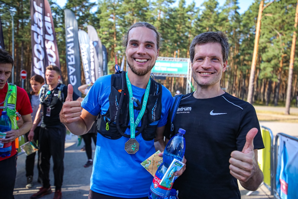
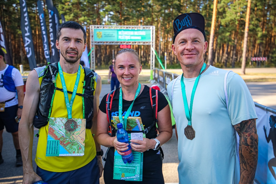
| 17:10 | Awarding for all distances and INTERVALS.LV lottery with Garmin and other prizes begins |
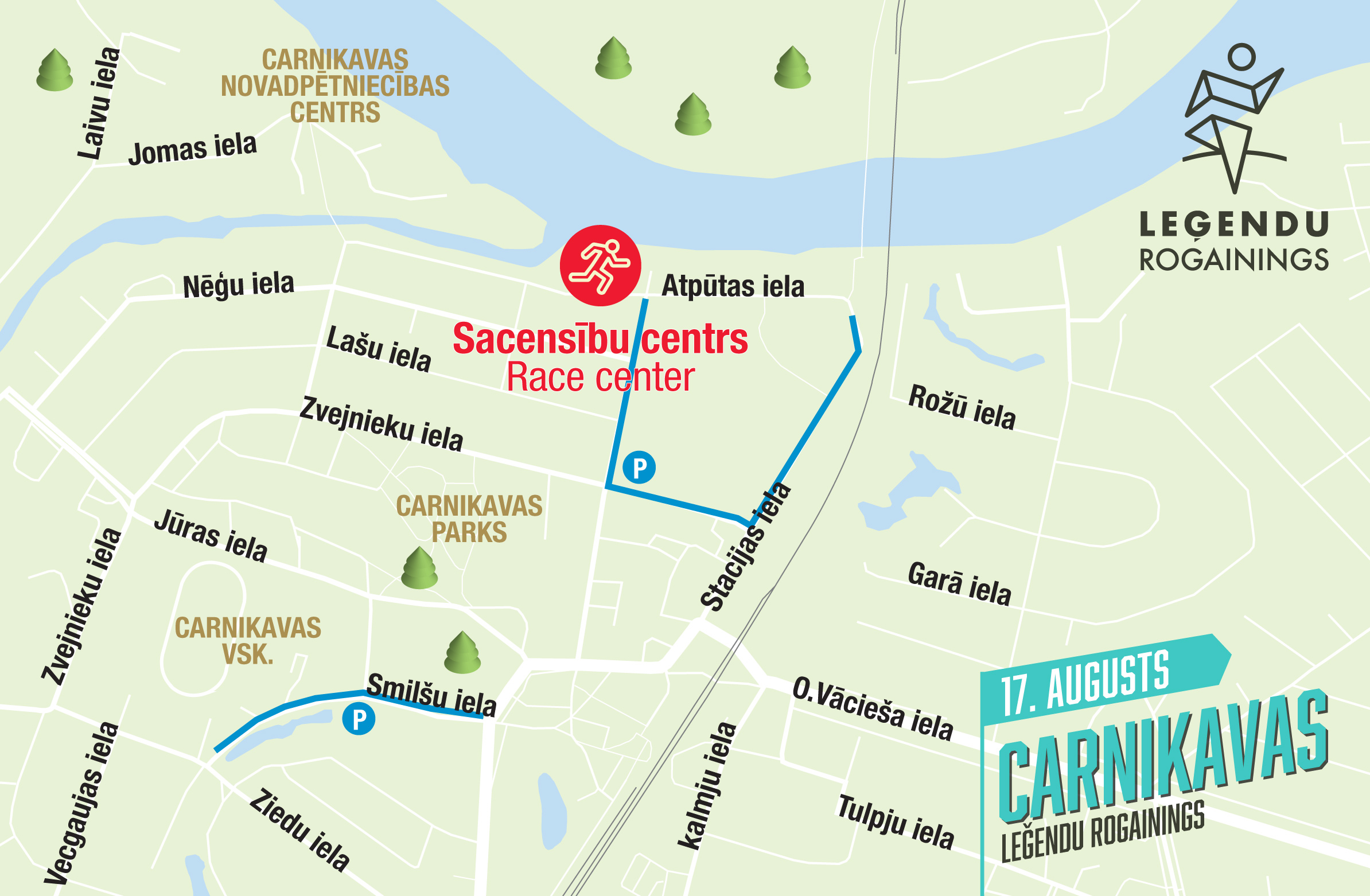
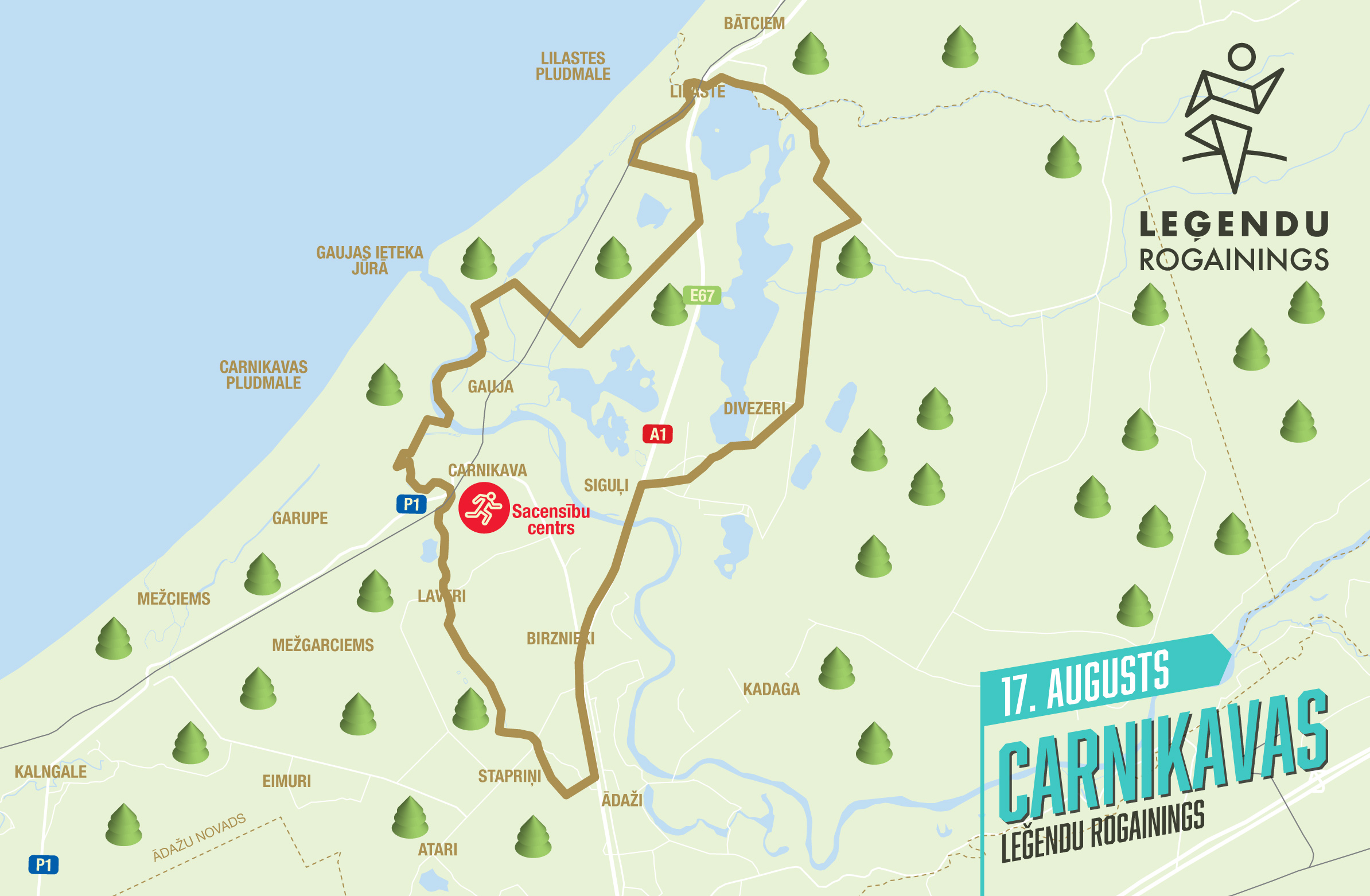
Location and area of the competition center
The competition center will be located on Gauja beach at Atpūtas iela, Carnikava.
Norādes uz sacensību centru:

GPS PACE RECORDING AND ANALYSIS BY RACE
 If you want fans to follow you during the competition, while watching the big screen in the competition center, or after the competition analyze your (or your competitors') delusions around the real control point location, use the MapRun smartphone application:
- iPhone versija: https://apps.apple.com/us/app/maprun/id1634949963
- Android versija: https://play.google.com/store/search?q=maprun&c=apps
- Garmin version: https://apps.garmin.com/en-US/apps/05fa6a5e-e9e6-4865-8b3b-0b8a3c64eeba
- Opens the application > Name > Write down your first name, last name, gender, age > Accept > Select Event > Latvia > Urban_Legends > "Event name" (scan the šo QR code or click the link) > Ok (may have to wait ~20 seconds while loading) > Go to Start
- Turn on the GPS function on your smartphone shortly before the start of the š ride.
- When you get within 15 meters of the start or control points or the finish line at the end, they will turn green (counted), but your smartphone will beep/vibrate (further on, you can keep your phone in your pocket or bag without pulling it out until the finish line, because as long as you hear the phone beeping at each control point, it means that the application is working successfully).
- You can also use your GPS wristband instead of your phone by uploading your GPX marker to šeit: http://www.p.fne.com.au/#/gpsupload
- Maršwill be on view at šeit.
- If the MapRun application did not count a control point for you, then press: Show Results > select the rogaining you just ran > Review Results (HITMO) and indicate the missing checkpoints!
Notations
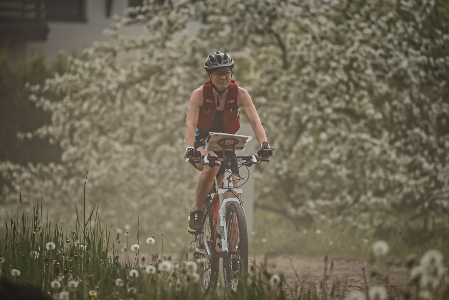
 As šthis year, in all stages, you will also be able to ride a bicycle in the MTB group - for the convenience of cyclists, the map will have asphalted (brown) and unasphalted fast/medium/slow/very slow (the more jerky, the slower) black roads and trails. Tracks of tractors marked with šauro stiga will be useless for cyclists, but pedestrians can try to get through.
Vegetation is depicted as closely as possible to the gradual transitions observed in nature from very young to young, to medium and old forest, using 4 different colors: green, lighter, very light and white, which orienteers are already used to on their maps. But in contrast to classic orienteering maps, they will not display runability, but only the age of the forest stand. šdepicting the forest more delicately is possible thanks to the laser point cloud data published by the Latvian Geospatial Information Agency, which everyone can download free of charge and generate war layers from them.
We remind you that the areas shaded with olive green in the standard orientation signs are closed to participants. On the other hand, we colored the closed roads in red color. Even if it is not marked on the map, but you saw the sign "Privacy" in nature. or "Entry prohibited", please respect it and choose another way. Of course, first of all, the organizers will try to plan the checkpoints in such a way that reaching them does not affect the rights of private owners.
The elevation curves will be with a relatively fine 2 m step.
COMPETITION MAP AND TERRITORY
Competition card participants receive on the morning of the competition when registering at the registration tent. The cards will be moisture resistant, but each participant is responsible for keeping the card in wet conditions. The scale of the map is 1:20,000 or 1 cm = 200 m in nature. Size 62 x 43 cm (take this into account when choosing a bike card holder).
Checkpoint legends
Get acquainted with checkpoint legends or location descriptions! Although in any case you should look for an object located in the center of the circle, the legends explain more precisely whether you should look for the north or south side of the building, etc. Some of the locations of the checkpoints are so legendary that we had to encode them in order not to remember them ahead of time. Tomer You can try to remember them even now. You will find out the correct answers on the day of the competition before the start, when you receive a card with checkpoints.